Kepler Track
Fiordland National Park
27 - 30 April 2022
I decided to check out another great walk. I was joined by Chris S, Staci, Kirsty, Stuart, Tim, Cameron, Emily, Georgie and Tash.
COVID-19 Alert Level: Orange
Itinerary
| Day 1 | Kepler Track Car Park (Control Gates) - Luxmore Hut Kepler Great Walk Track | 7.25 Hours 14.8 km |
| Day 2 | Luxmore Hut - Iris Burn Hut Kepler Great Walk Track | 8.83 Hours 15.1 km |
| Day 3 | Iris Burn Hut - Moturau Hut Kepler Great Walk Track | 6.36 Hours 16.7 km |
| Day 4 | Moturau Hut - Rainbow Reach Car Park / Kepler Track Car Park (Control Gates) Kepler Great Walk Track | 2.25 Hours 6.5 km |
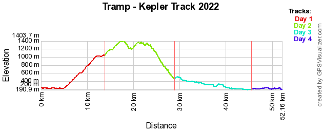
Track Profile
Day 1 (Wednesday):
Today we left our accommodation in Te Anau and headed to the start of the track at the control gates. Got our packs on and headed off on the track. The first part of about an hour and half was easy going through the beech forest along the shore of Lake Te Anau.
We reached Brod Bay shelter where we had a break and prepared for the uphill for the remainder of the day.
The uphill was a gentle 800m vertical ascent over the next 8km, which allows for you to take your time. About half way up we stopped for lunch.
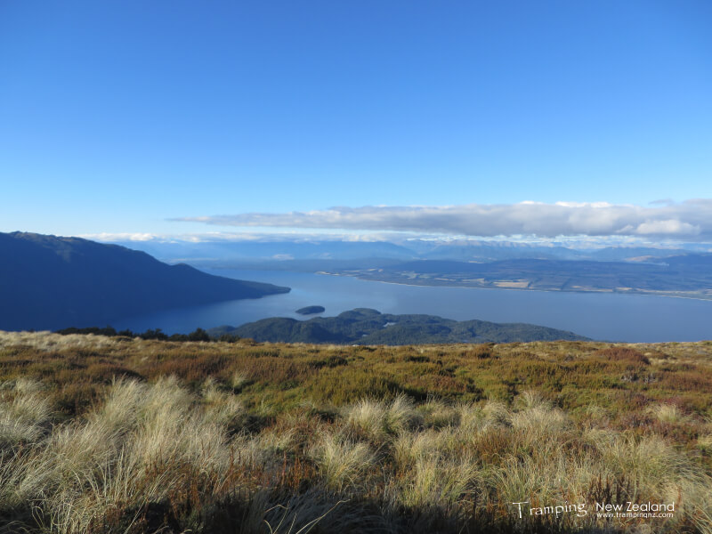
After lunch we continued on until we reached the bushline. This is where the views of our efforts could be seen. After a short break, we pushed onto Luxmore Hut which was another 45 mins away.

View from near Luxmore Hut towards Lake Te Anau | Photo Credit: Chris Foster
We reached the hut, which was a good feeling. Before we took our boots off, we decided to go and visit the nearby Luxmore Caves. The caves were amazing and we were there about an hour and managed to go in quite a fair way.
Returned to the hut where we setup our beds and then cooked dinner before heading off to bed.
Day 2 (Thursday):
This morning we woke up to a sunny day with an amazing sunrise. Had breakfast and then packed up ready to head uphill to Mt Luxmore. Basically today is a big day along the tops.
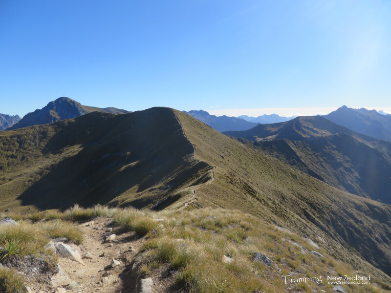
Firstly it was following the ridgeline up to Mt Luxmore, this took quite a fair bit of time and the views were amazing. Once reached the side track to the summit, we dropped our packs and headed up. After the panoramic view at the top, we continued along the track.
We stopped for lunch at Forest Burn shelter before continuing along. We also stopped at Hanging Valley shelter for a break. Now heading down hill off the tops down to Iris Burn hut, this is quite a steep decent. Finally reached the hut where we sorted out beds and had dinner before heading off to bed.
Day 3 (Friday):
To start off the day we decided to do a side track to Iris Burn waterfall. This is quite a nice waterfall. When we returned back to the hut we saw quite a lot of keas about.
Today and for the rest of the trip are the easier days as there were no big hills to tackle. We basically followed the valley down to Lake Manapouri.
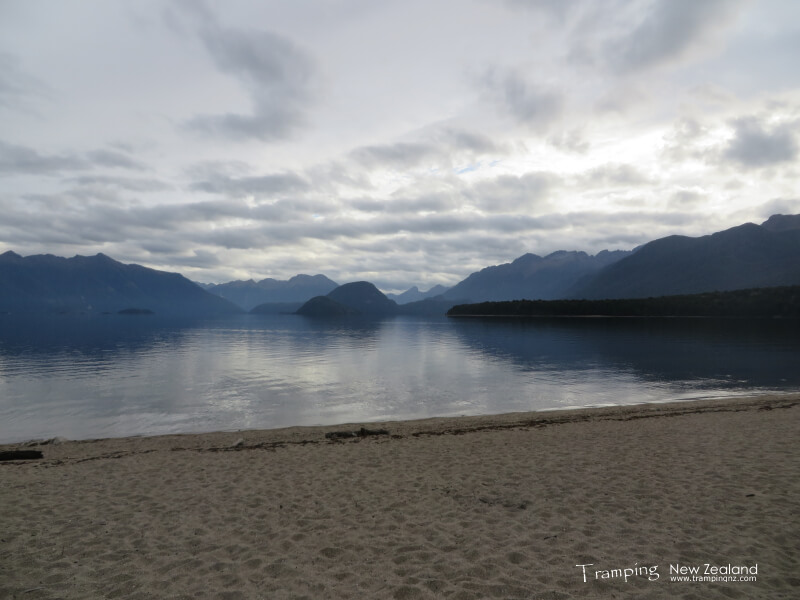
We reached Moturau Hut in good time where some of us went for a swim in the cold lake. Had dinner and then we sat outside to enjoy looking at the stars before going to bed.
Day 4 (Saturday):
Today is the last day on the track. The scenery was similar to the previous day and the first day. The track was relatively flat.
We reached Rainbow Reach carpark, this is where some of us ended the tramp for various reasons (injuries, etc.), also where some of the others dropped off their packs and continued onto the control gates to where the cars were parked. One of the cars returned to Rainbow Reach to collect those that finished there and along with all of the packs before heading back to our accommodation in Te Anau.
This was a very enjoyable trip, especially since we had the best weather.
Maps
- NZTopo50: CD07 - Manapouri
- NZTopo50: CD08 - Te Anau
Further Information


